Public transport tour on the Rothaarsteig: From Haiger-Dillbrecht to Wilnsdorf-Rudersdorf

Rothaarsteig / Open Data Hub Touren / Public transport tour on the Rothaarsteig: From Haiger-Dillbrecht to Wilnsdorf-Rudersdorf

This hiking tip on the Rothaarsteig starts at the train station in Wilnsdorf-Rudersdorf. Take the RE99 or RB 95 line of the Hessische Landesbahn from Rudersdorf one stop in the direction of Dillenburg to Dillbrecht. From Dillbrecht station, it is only a few meters downhill to Hautstraße, where you will meet the Rothaarsteig trail Dill-Bergtour. This is where the hike back to Rudersdorf begins.

Aussichtsplattform auf der Tiefenrother Höhe am Rothaarsteig
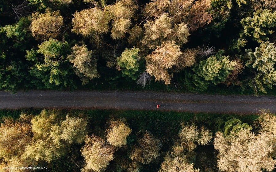
Rothaarsteig nahe der Tiefenrother Höhe
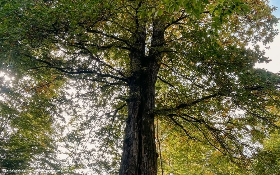
Naturdenkmal Lucaseiche am Rothaarsteig
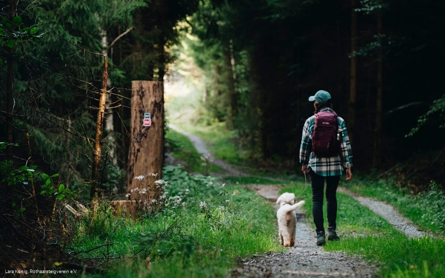
Wanderin mit Hund auf einem Waldweg auf dem Rothaarsteig
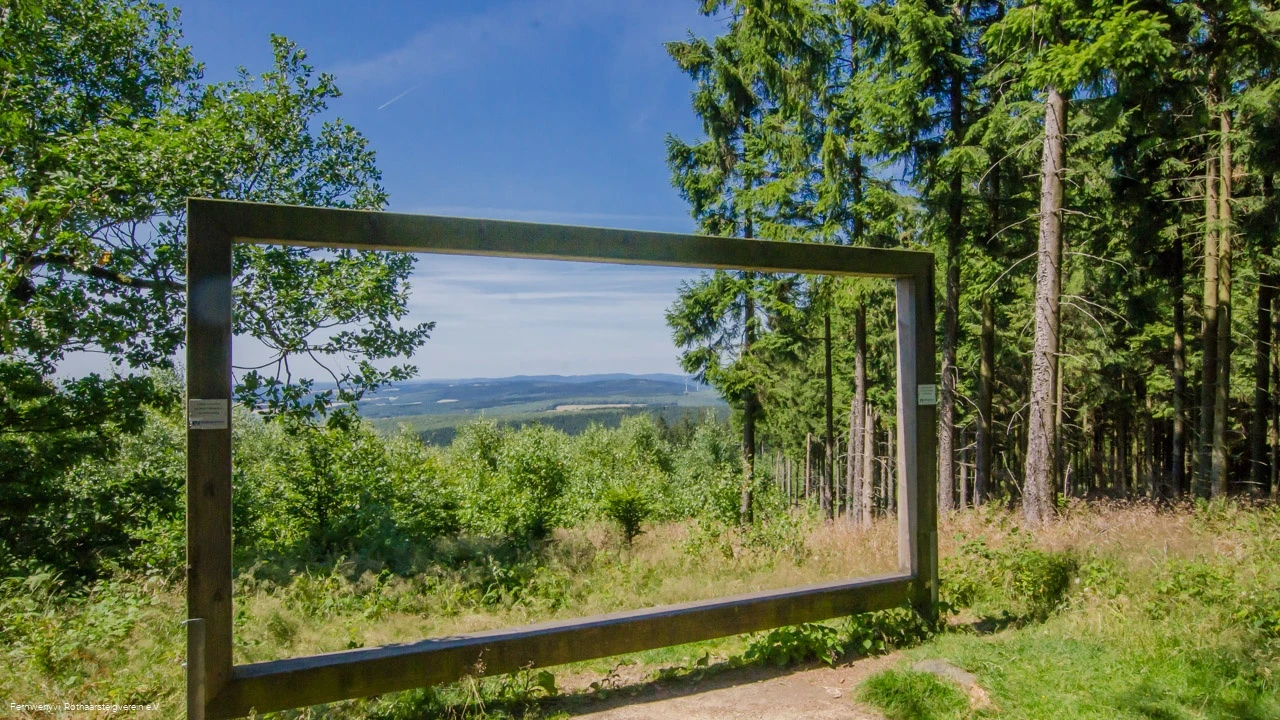
Rothaarsteig-Landschaftsrahmen bei Wilnsdorf-Wilgersdorf

Tour starting point:

Railroad station in Wilnsdorf-Rudersdorf

Tour destination point:

Railroad station in Wilnsdorf-Rudersdorf

Properties:

  • Circular route

Category

regionaler Wanderweg

Length

10.8 km

Duration

2:55 h

Elevation ascent

240 m

Elevation descent

224 m

Lowest point

324 m

Highest point

553 m

Condition

Difficulty

Recommended seasons

J F M A M J J A S O N D

The hike begins with a trip through the longest railroad tunnel in North Rhine-Westphalia. The double-track Rudersdorf Tunnel is 2652 m long, has been in operation since 1915 and has been electrified since 1965. The Hessian part of the Rudersdorf Tunnel is a cultural monument under the Hessian Monument Protection Act. It pierces the Tiefenrother Höhe (552.3 m) and thus also the Rothaarsteig.

The Dill mountain tour is marked with the black and white Rothaarsteig logo. You will find the markings on the main road in Dillbrecht, turn left and follow the black and white logo in the direction of the Luca oak. The first few meters are a steep ascent across meadows. The trail continues uphill along paths and forest trails through varied forests in the direction of the Rothaarsteig, which you meet just before the Luca oak. From there, continue along the Rothaarsteig, which is marked with the red and white logo, to the Haubergspfad trail. The Hauberg economy, which is typical of this region, is presented here on a small educational trail. At the highest point, the "nose in the wind" offers a fantastic view over the Siegerland region. There you leave the Rothaarsteig and follow the access path marked with the yellow and black Rothaarsteig logo down to Rudersdorf. The access path leads to the train station, the starting point of the hike.

This hike is 10.6 kilometers long and there are 240 meters of altitude to overcome. You should allow at least three, more likely three and a half hours for the hike. There are no refreshment stops along the way.

0 km 2 km 4 km 6 km 8 km 10 km 350 m 400 m 450 m 500 m 550 m 600 m 333 558

Information

Equipment

Normal hiking equipment is recommended.

Safety guidelines

The tour makes no particular demands on the hiker's ability.

Author Tip

Rest at the "nose in the wind" vantage point with a magnificent view over the entire Siegerland region.

Literature

The Rothaarsteig recommends:


Maps

Rothaarsteig hiking map at a scale of 1:50,000


  • Divided into two sheets (sheet north / sheet south)

  • 10th edition - up-to-date route guidance

  • With marked mountain huts, viewpoints, bus stops, parking spaces and much more.

  • free shipping in the Rothaarsteig hiking store


Wilnsdorf/Burbach/Neunkirchen hiking map


  • Hiking in the 3-country corner in the municipalities of Wilnsdorf, Neunkirchen and Burbach. Parts of Siegen can also be hiked with the help of the map. Available here.

Public transit

Take the train to Wilnsdorf-Rudersdorf station or Haiger-Dillbrecht station.

Parking

Parking is available at Wilnsdorf-Rudersdorf station and at Haiger-Dillbrecht station.