Haincher Höhe - Dillquelle - Tiefenrother Höhe - junction Westerwald-/Dill variant, Kalteiche - Lucaseiche - Forsthaus Steinbach - Haiger-Rodenbach - Dillenburg-Manderbach - Dillenburg-Bismarcktempel - Dillenburg-Hofgarten - Dillenburg-Bahnhof
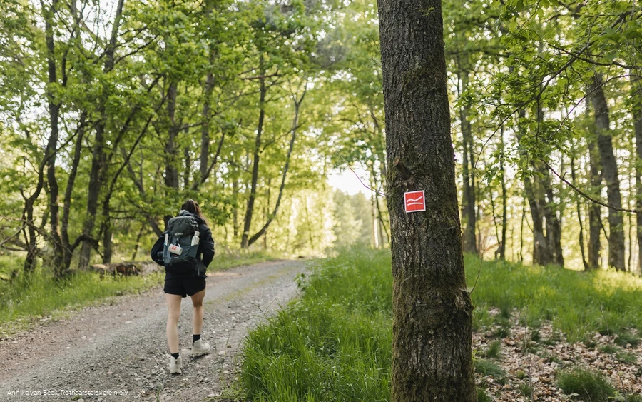
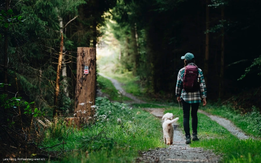
The Rothaarsteig leads along numerous natural paths away from agricultural and forestry roads. Weatherproof clothing and sturdy shoes are therefore a must for every hike. We want you to experience the "Path of the Senses" not only "dry" but also "well".
In our small hiking store at www.rothaarsteig.de/shop you will also find a selection of Rothaarsteig items to prepare for your tour or as a souvenir. We are also happy to recommend the durable and high-quality outdoor equipment from our long-standing partner, the outdoor outfitter Tatonka.
Hiking rucksack
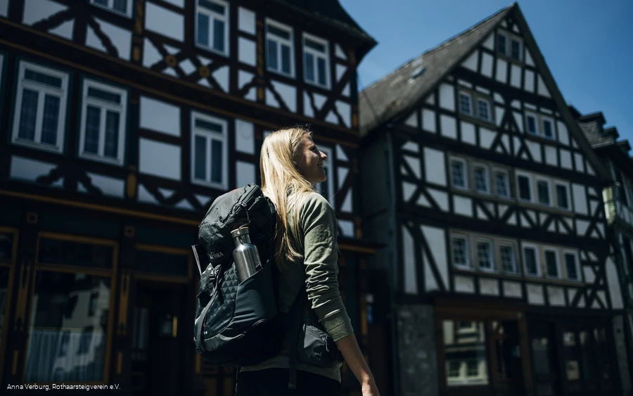
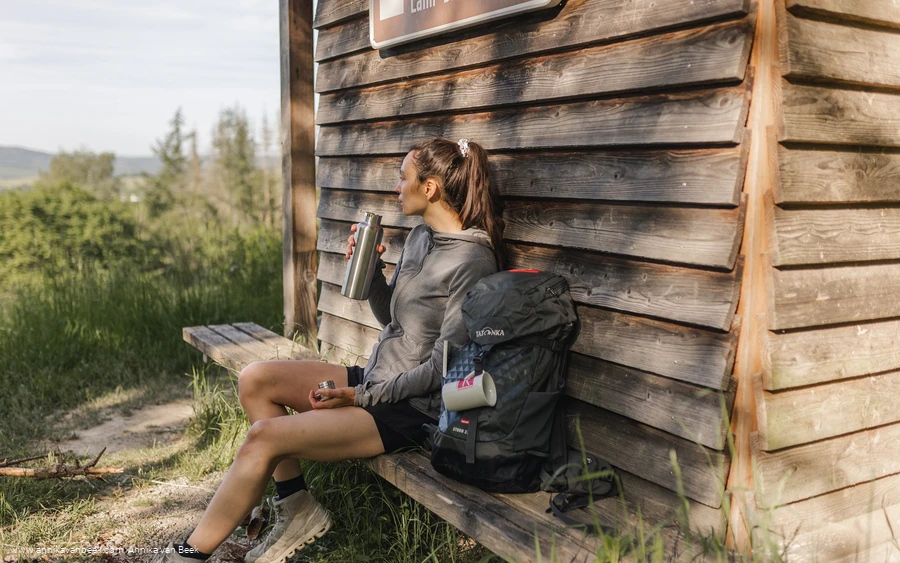
A suitable hiking rucksack will make your tour on the Rothaarsteig twice as much fun! Hiking rucksacks have a ventilated carrying system that makes them very comfortable to wear, as this ensures that sweat can evaporate immediately. They can be fastened with a waist or hip belt and thus sit firmly on your back with every movement. They are also equipped with a practical holder for hiking poles and often have a compartment with a tube outlet for a hydration bladder, so that hydration is ensured at all times. Here you can find hiking rucksacks from outdoor outfitter Tatonka in various sizes for day hikes and multi-day tours and with different ventilated back systems.
First aid kit
To make sure you can enjoy your hiking tour on the Rothaarsteig to the full, a first aid kit should be in your rucksack. After all, nothing is more annoying than not being able to treat a blister on your foot or minor injuries immediately. The first aid kits from Tatonka are filled with all the important materials for the initial treatment of injuries and also contain an "outdoor cheat sheet" with a concise and clear guide to the correct behavior in the event of an emergency in the great outdoors. You can find Tatonka first aid kits here!
Food and drinks
On some stages, especially between Lahnhof and Dillenburg, there are unfortunately no refreshment stops along the way. Remember to pack food and drink, especially here. Especially in summer, it is important to drink plenty of fluids. The stainless steel bottles, stainless steel insulated jugs and stainless steel lunch boxes from Tatonka are not only practical, but also unbreakable and durable.
Information about the rescue signs on the Rothaarsteig
Most hiking trails run away from towns and settlements and all hikers have certainly thought about what would happen if an emergency were to occur. How can I be found here? Where am I anyway? Can the emergency services reach me? In an emergency, things have to happen quickly! That's why the Rothaarsteig is equipped with so-called rescue signs throughout. The green and white plaques attached to the posts of the signposts have a number that you must give when making an emergency call. This way, the emergency services know exactly where you are and valuable time can be saved.
Note on the increased risk of forest fires
Please bear in mind that there is currently an increased risk of forest fires due to the drought! Therefore, please observe the following instructions:
- Observe the legal ban on smoking in the forest - it applies in spring, summer and fall, more precisely: from March 1 to October 31.
- Observe the ban on open fires in the forest and within 100 meters of the forest.
- Take glass out of the forest - the burning glass effect can cause forest fires.
When it is (too) late:
- Extinguish small incipient fires if you can do so safely. Check the area carefully if necessary.
- Report fires via "112".
- Leave the danger zone by the shortest route.
The forest will thank you!
- Dill spring
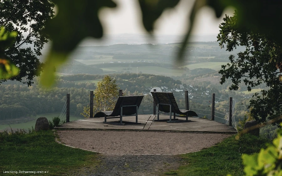
- "Nose in the wind" viewing platform
- Cold oak
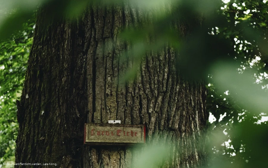
- Luca oak
- Steinbach forester's lodge
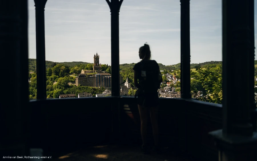
- Bismarck Temple Dillenburg
- Wilhelmstum Dillenburg
- Dillenburg Court Garden
Restaurants:
There is no accommodation directly on the Haincher Höhe. The Gasthof Jokebes in Irmgarteichen and the Hotel Fünf10 in Deuz offer transfers to and from the Haincher Höhe by prior arrangement.
Other establishments along the route:
To help you prepare for your hike, we will be happy to send you our free information pack. At www.rothaarst eig.de/prsopekte you can easily select the information you need. A good companion for every tour is our brochure "Rothaarsteig Wegweiser" with the hosts along the trail and other useful information.
The Rothaarsteig recommends:
Rothaarsteig hiking map on a scale of 1 : 50,000
- Divided into two sheets (sheet north / sheet south)
- 10th edition - current route guidance
- With marked mountain huts, viewpoints, bus stops, parking spaces and much more.
- free shipping in the Rothaarsteig hiking store
Dillenburg is easily accessible by various bus and train services and is also connected to the long-distance Deutsche Bahn network.
Unfortunately, Haincher Höhe is not accessible by public transport. The nearest bus connection is from Hainchen or Irmgarteichen. You can find more information at www.bahn.de. If you are coming by car, we recommend that you use public transport at the start of your tour and leave your car at the end point. This way you don't have to follow the bus/train timetable on the hike.
There is a free parking lot for hikers at the Haincher Höhe. Free parking in Dillenburg is available at the stadium. Enter "Am Sportzentrum" in the navigation system.
