- Refreshment stop
- Quality Trail Wanderbares Deutschland
- free of charge / accessible at any time
Baltz hiking day on the Rothaarsteig 2025 - long
Tour starting point:
Winterberg-Hildfeld
Tour destination point:
Willingen (Upland)
Properties:
Additional Information
If you are interested in hiking the entire 154 kilometers of the Rothaarsteig, individual stages or one of the 14 circular hiking trails of our Rothaarsteig Trails, you can find more information on tour planning at www.rothaarsteig.de. If you have individual questions, please send an email to info@rothaarsteig.de.Category
regionaler WanderwegLength
13.1 kmDuration
3:49 hElevation ascent
296 mElevation descent
334 mLowest point
573 mHighest point
847 mCondition
Difficulty
Recommended seasons
The Baltz Hiking Day 2025 on the Rothaarsteig - long tour offers a challenging hike through the charming Sauerland landscape. The route, which is certified as a Wanderbares Deutschland quality trail, starts in the Hildfeld district of Winterberg.
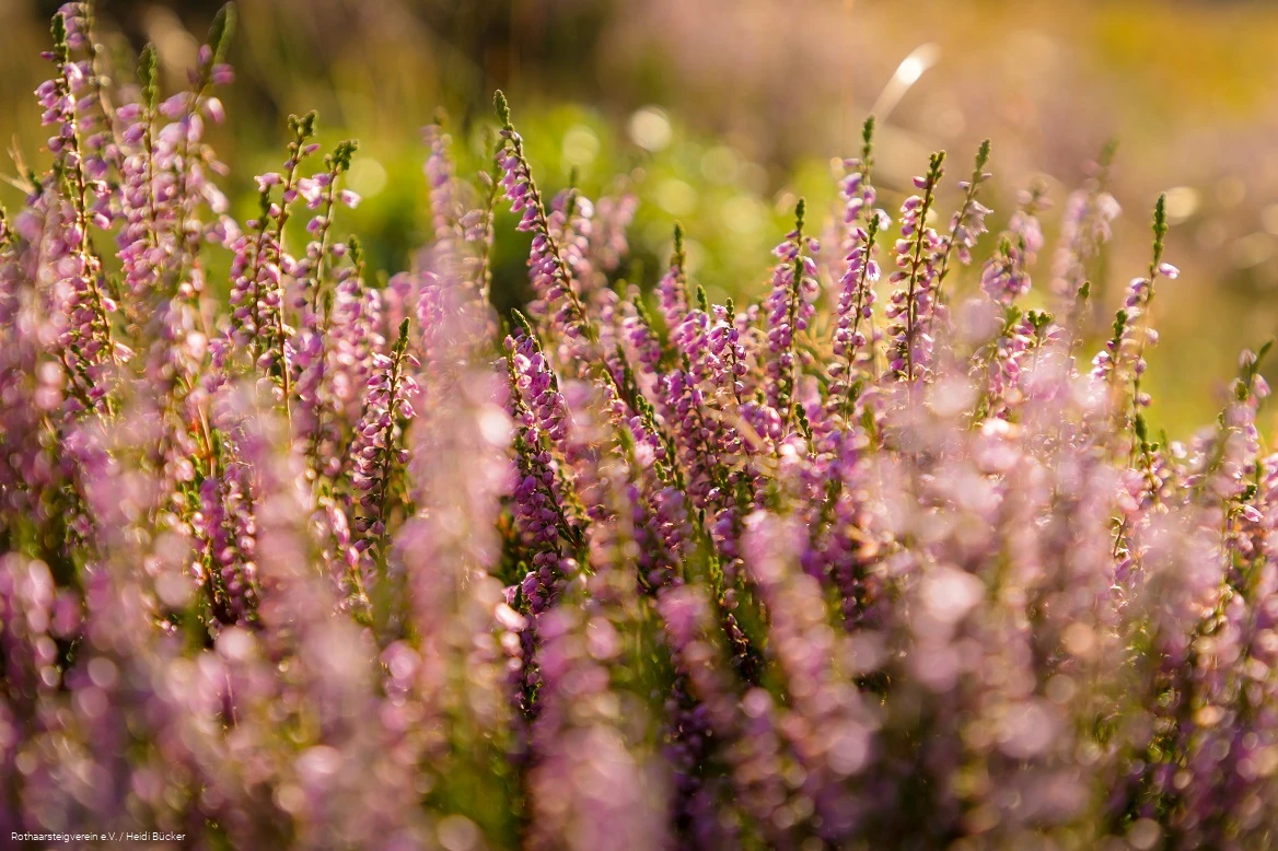
From there, the trail leads through the Schweimecke valley before following the course of the Rothaarsteig. The panorama opens up on the Niedersfelder Hochheide, an important nature reserve in the north-eastern Rothaargebirge. This area represents the largest high mountain heath in north-west Germany and is fascinating due to its vastness.
The Clemensberg offers a far-reaching panoramic view of the Sauerland mountains and the surrounding nature. The Hochheide hut is the first place to stop for a refreshment break.
The trail continues to the Langenberg, the highest elevation in North Rhine-Westphalia. A narrow border path then leads hikers to the Richtplatz, a historic place of justice located deep in the forest that offers insights into times gone by.
The trail then descends to Willingen, where another refreshment stop rounds off the day. The tour offers a comprehensive experience of nature on one of the region's most renowned long-distance hiking trails.
Information
Directions
Winterberg-Hildfeld - Schweimecke valley - Clemensberg - Niedersfelder Hochheide - Hochheide-Hütte - Langenberg - Grenzpfad - Richtplatz - Willingen (Upland)
Equipment
- Sure-footed hiking boots with a good profile
- Rucksack provisions and drinks for on the way
Author Tip
Pack enough water despite stopping at the Hochheide hut. Because we are out in nature, there is no opportunity to fill up your water supply.
Literature
If you would like more information about the Rothaarsteig, we will be happy to send you our free information pack. Order at www.rothaarsteig.de/prospekte.
Maps
You can order the original Rothaarsteig hiking map at a scale of 1:50,000 with up-to-date route guidance and useful markings such as refuges, parking lots, bus stops and much more at www.rothaarsteig.de/wanderkarte for 11.00 euros free of charge.
